European Environmental Agency

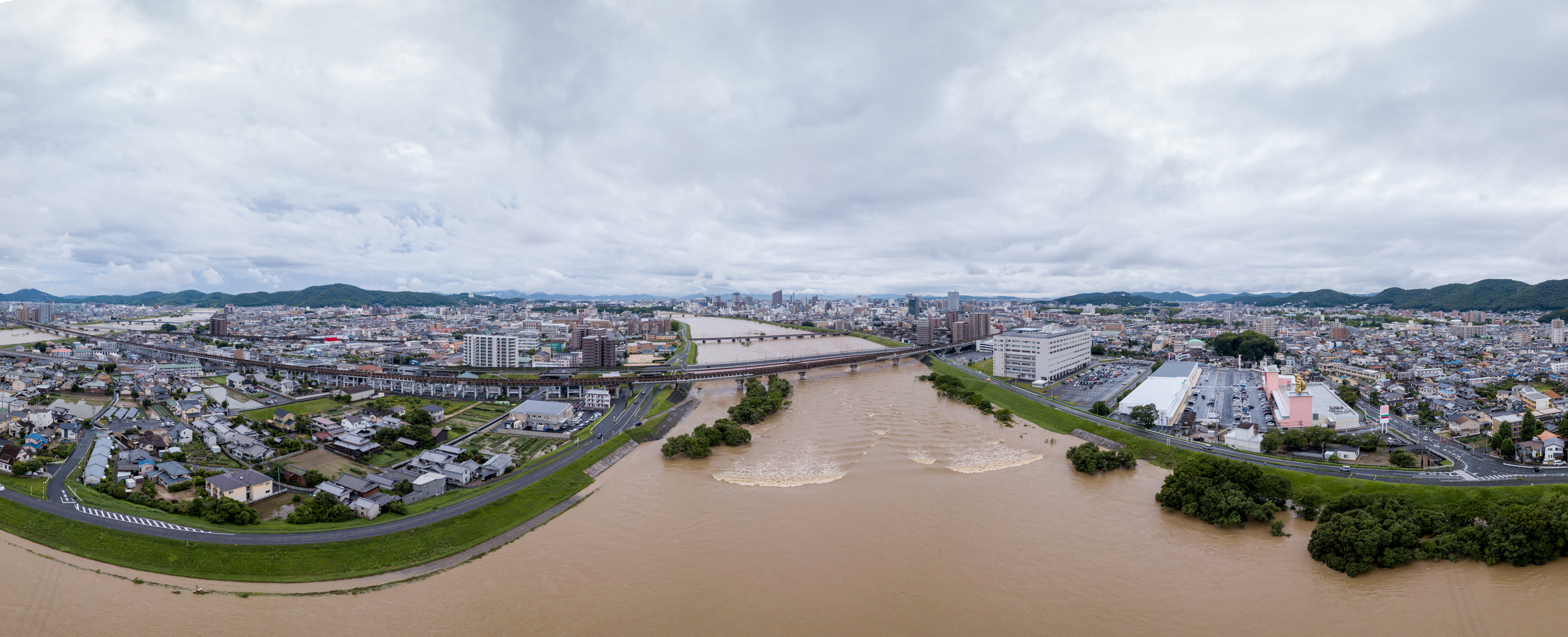
The EEA delivers independent environmental information to assist in developing public policy. The agency’s data-driven conclusions help citizens and legislators to make sound environmental decisions. As an agency of the European Union, EEA focuses on sustainable practices and combines environmental well-being with economic considerations. The agency has determined that flood risk is likely to remain one of the most dangerous climate change issues in the coming decades.
EEA and partners worked together to develop an Internet-based mapping tool that allows agencies to share environmental data. The map shows cities that are in danger of flooding. Concrete, asphalt, or other hard substances cover much of the surface area of these municipalities, preventing water from sinking into the ground during flooding or severe rain storms. Other reasons for flooding, include insufficient sewer systems that overflow when filled with large volumes of wate r. By working closely, with 33 member countries, EEA can map and track floods in areas where the ground is sealed.
The online mapping program simulates the environmental picture, making information about flood status publicly available to citizens and government agencies. Such tracking helps researches to develop strategies to protect those in high flood-risk areas. Weather trends in different parts of Europe vary, depending on the climate. Precipitation may increase in one area, but decrease across the continent. Some areas are at risk of heat waves, because surface areas sustain high temperatures. The online map gives the EEA and partners an actual picture of the weather variations, helping the agency to accurately predict extreme weather changes. The online map is a valuable resource that contributes to protecting the European Union from flood risks.
About Author
admin18
-
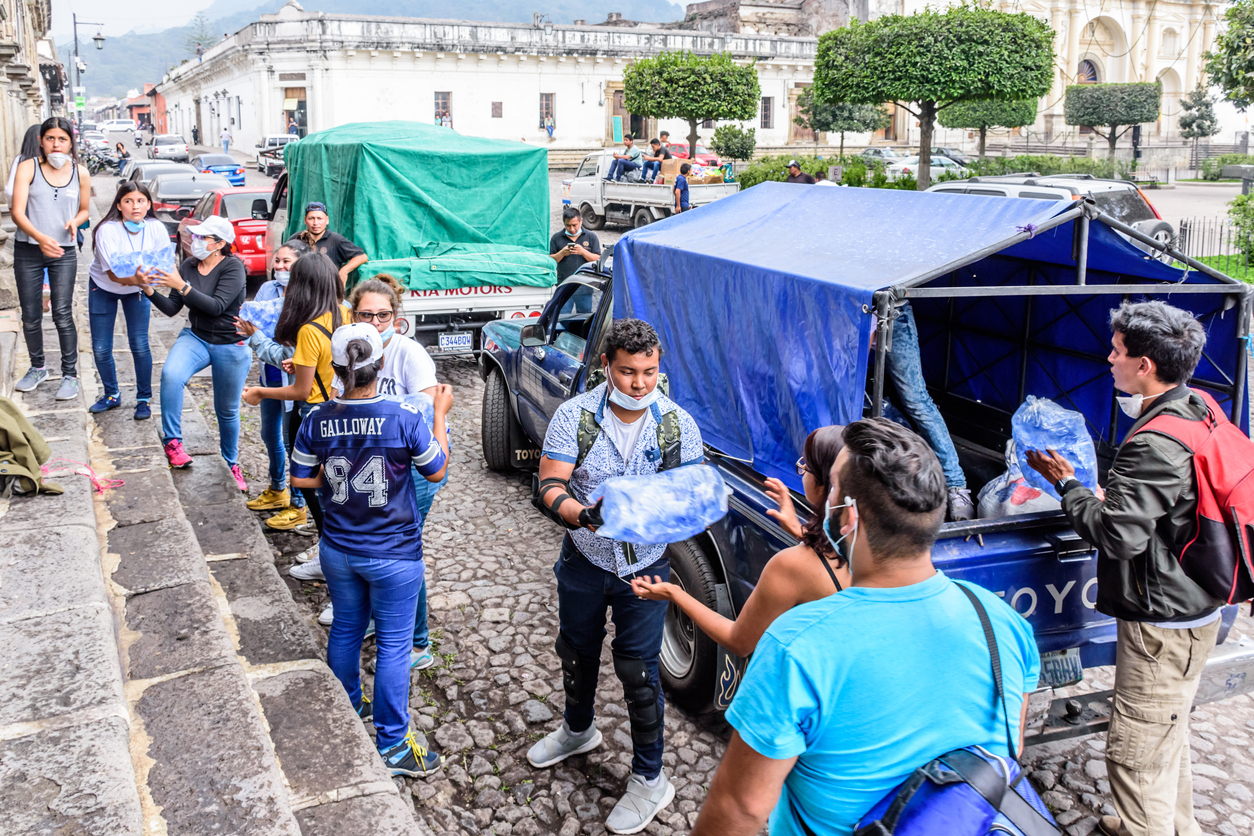 EU Provides Humanitarian Aid Worldwide
The European Union provides aid to flood victims across the globe. The
-
 National Infrastructure Commission
NIC analyzes variables that affect the UK's infrastructure. The Commission reviews requirements,